This trail is unfortunately closed for the time being after the Bridge fire in the San Gabriel Mountains. It may remain closed for a while, but I encourage you to read about the trail to the bridge in case it reopens soon! This post may include affiliate links that help me earn a small commission at no cost to you when you click and make a purchase.
Hiking the Bridge to Nowhere
When it comes to hiking, southern California has a plethora of options. With mountains, forest and desert there is a great variety of hiking landscapes in every season for outdoor lovers ot enjoy. Home to several small mountain ranges, the Angeles National Forest and a suprising number of waterfalls, getting out on the trail from Los Angeles is easier than you think. The Bridge to Nowhere is a long and challenging hike on most Angelenos hiking bucket list. Making it one of the best hikes in the Los Angeles area.
Located just over an hour from the greater Los Angeles area, is the 10 mile hike to The Bridge to Nowhere. Featuring river crossings, rock scaling and desert views this 10 mile hike is a fun one.
***Do not Attempt this hike after rain storms as high water levels make it extremely dangerous.
I have been wanting to do this hike for years, and finally made it out on an early Monday morning right after the trails reopened. The hike is in the San Gabriel and Sheep Wilderness both part of the National Forest in La Verne California.
Parking and bathrooms are available at a large dirt lot, and it is advisable to come early, as this area is very popular with hikers and those wanting to come for a dip in the river.
Bring or wear waterproof shoes, a change of clothes, extra socks and sun protection as the trail is very exposed in some areas.
Hiking Checklist:
-
- Trail Map/Compass
- Extra Shoes/Waterproof Shoes
- Extra Socks
- Hat
- Sunscreen
- 2-3 Liters of water or a water filter bottle
- Dry wicking shirt
- First Aid Kit/Emergency Kit
- Snacks
The Trail to the Bridge to Nowhere
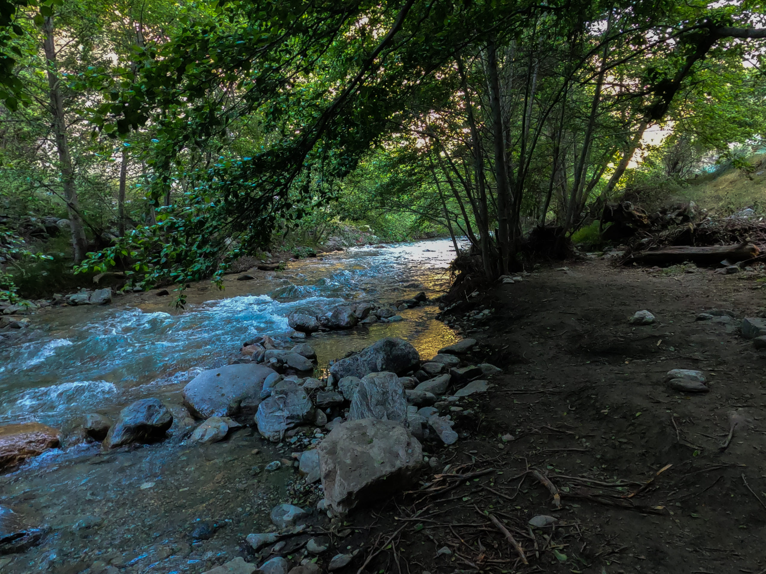
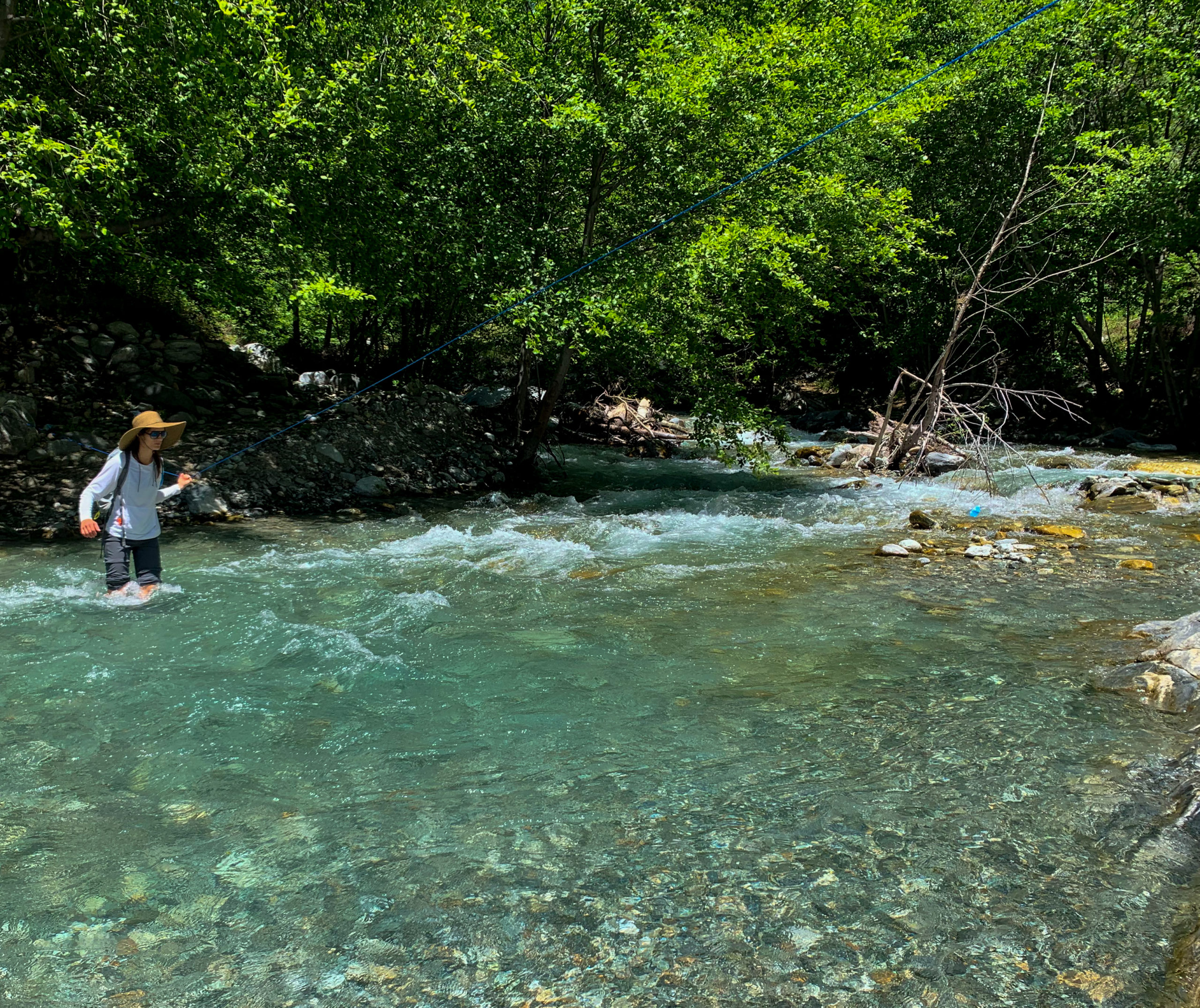
One of the things that make this trail to the Bridge to Nowhere so exciting are all the river crossings. Depending on the rainfall the Kern River can be mellow and low or swift and high. Most of the crossings have small ropes to help you across if the water is high. In my case the water was mid thigh at the deepest places, and not too difficult to cross.
The trail has small rolling hills and not much elevation. It is the terrain that makes this hike more of a challenge than most. In several areas the trail leaves the river and continues onto small ledges in the rock that have to be traversed slowly on hand and foot or via small safety ropes tied precariously to small bushes and trees.
It is best to download the trail map on AllTrails to not lose the trail which often gets washed over by rain storms and the river and can sometimes be difficult to follow.
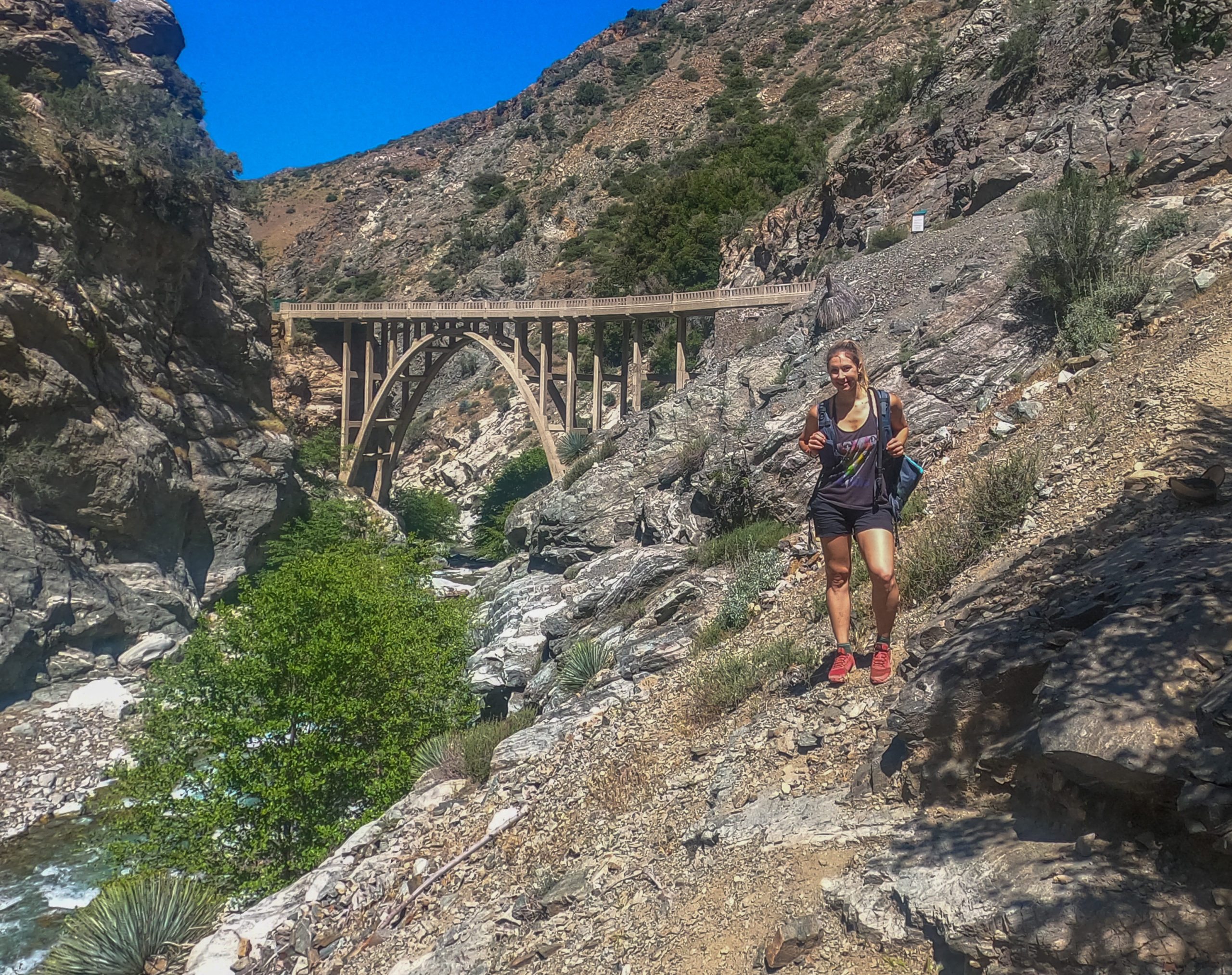
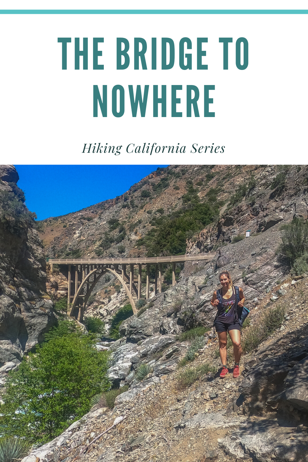
At 5 miles you reach the Bridge to Nowhere, which spans the Kern River. The Bridge was built in the 1930’s as part of a road that was supposed to connect Azusa with Wrightwood. After the bridge was constructed, the road was washed away in the great flood of 1938. The road had lost so much funding at this time, that it was never rebuilt leaving it for only hikers and animals to enjoy. The Bridge itself is private property and is now used from time to time for Bungee Jumping. Since it has been used so little the bridge is in remarkable condition for something so old.
At the bridge there are ample places to hop in the river for a swim, or sit on the bridge for a long lunch. The hike in total takes 5-6 hours and is just over an hours drive from Los Angeles.
To hike the Bridge to Nowhere, make sure you get an early start. If the area has had a lot of rain, rivers crossings may be too dangerous to cross. Many of the river crossings have ropes across but do not attempt to cross if levels are high. People have died on this hike!
When doing any hikes always pack your 10 essentials, use your best judgement and do not let your ego get in the way of your safety.
Pin It
How to Visit Glacier National Park in Montana
How to Explore Glacier National Park in Montana Revered for its stunning scenery and awe-inspiring natural wonders, Glacier National Park is an incredible Montana destination, one that offers endless opportunities for adventure. Spanning more than one million acres,...
Hiking the Catalina Trail: California’s Best Island Hike
Video guide to the Trans Catalina Trail on the beautiful Santa Catalina Island in the Channel Islands of California.





I’d never heard of the Bridge to Nowhere until recently, so this was really informative. I love the magic and nostalgia behind a gorgeous looking bridge that was constructed well, but never actually used. What a unique location to stop for lunch. It’s basically a forest bridge for the animals now, love it!
The Bridge to Nowhere seems like an excellent hiking trail to go on. The history behind how this bridge came to be and how the road ceased to exist is really interesting. And the Hiking Checklist is a wonderful idea!!
The Bridge to Nowhere, the name itself sends a thrill up the spine. What a lovely hiking trail this must be, a great experience getting close to nature. The bridge looks so quaint and lovely, definitely the highpoint of the hike.
We have a bridge to nowhere hike in New Zealand too! Although our bridge is nowhere (or the walk) near as pretty as this!
That’s cool I will have to look that one up to.
A very apt name for the bridge. Actually sounds like a movie title. Going for a dip during or after a hike is so nice, so this spot is perfect with the river. Gorgeous scenery on your video, but it looked pretty rugged in some spots.
It was certainly pretty rugged in parts. This area floods often and many of the rock walls you climb across move often.