Rattlesnake Arches Trail: The Best Hike in Western Colorado
Colorado is full of some of America’s most beautiful hiking and sightseeing. While most people will head into the mountains, Western Colorado offers some stunning options for hikers and bikers wanting to experience Colorado’s more arid and desert landscape. This region is home to more sandstone arches than any place in the world, outside of Arches National Park. It’s also where you’ll find the Rattlesnake Arches Trail—the best hike in Western Colorado.
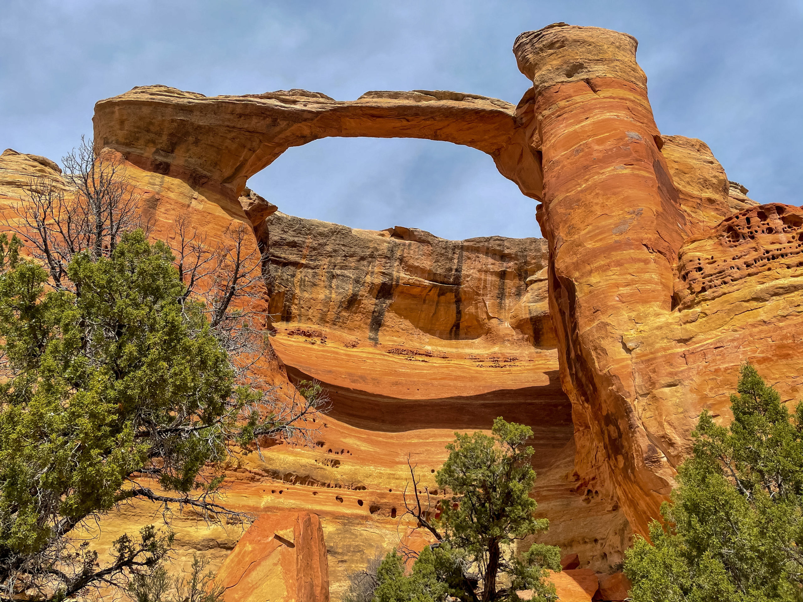
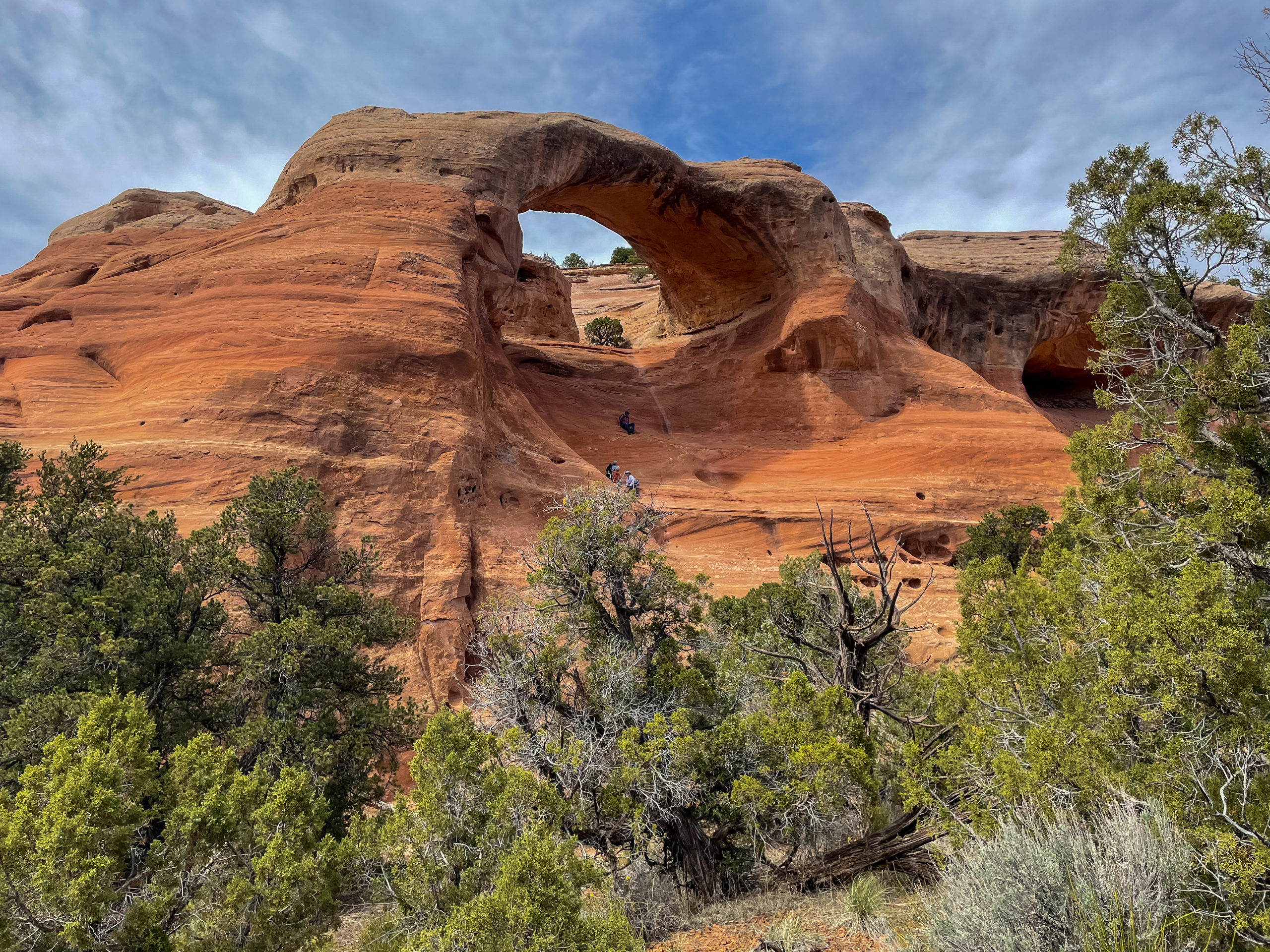
The trail winds through the McInnis Canyon National Conservation Area, located in Fruita right on the western edge of the Colorado National Monument. A visit to this area of deep canyons, wildflower-strewn desert, and beautiful sandstone arches and monoliths is a worthy addition to any drive through this area. To see arches and get a real taste of the region, you will want to hike to Rattlesnake Canyons Arches, one of Colorado’s best hidden gems.
I’ll show you how to hike Rattlesnake Arches to get the best experience and share tips on the best time of year to go, what you should know about the trail, and more in this complete hiking guide. Let’s go!
You’ve never experienced anything quite like Rattlesnake Arches—surrounded by sandstone arches, monoliths, and rugged canyons, it’s a truly otherworldly landscape that makes it the best hike in Western Colorado. Please note that this post may include affiliate links that generate a small commission for me when you make a purchase (at no cost to you). If you can help support my blog this way, I am deeply grateful!
Best Time to Hike to the Rattlesnake Canyon Arches
The best time to visit the Rattlesnake Arches for hiking are during spring (March-May) and fall (September-November) when the temperatures are milder and weather is moderate. Summer days can be extremely hot and there’s minimal shade in the canyon, so plan your hike for early morning or evening if you do plan on hiking to the arches during the summer months.
The bookend months (March, May, September, and November) are more likely to see massive variations in temperature, with the potential for very cold mornings/evenings in March and November and temperatures at or approaching summer levels in May and September. My favorite times to hike the Rattlesnake Arches trail are during April, early May, mid-September, and October for these reasons.
How to Find the Rattlesnake Arches of McInnis Canyon
The Rattlesnake Arches, more than 40 in total, are certainly off the beaten path. But if you’re like me and ready for a little adventure, you will be rewarded with some of the most unlikely and beautiful land in Colorado. Colorado has plenty of varied landscapes, from sand dunes in the Southeast and cliff dwellings in the Southwest to the high peaks of the rockies in the center and north.
Even with all my travel through Colorado, I was still surprised to find the remote canyons, colorful sandstone cliffs, and pinnacles inside McInnis Canyon. Located on the northern end of Colorado’s Uncompaghre Plateau, this vast area of more than 123,000 acres is protected within the McInnis Canyon National Conservation Area. Next to the Colorado National Monument, it forms the world’s second largest concentration of arches outside Utah‘s Arches National Park.
Getting to the Rattlesnake Arches is only for serious adventurers, and there are only two ways to get to them:
- A rough drive on a 4×4 track, then a 5+ mile hike
- A 15-mile round-trip trek from a trailhead west of Grand Junction
Option #2 is exactly how I chose to explore this area of canyons and arches. You know I love a good challenge!
Getting to Rattlesnake Canyon Arches
Getting to Rattlesnake Arches takes effort, but it’s well worth the challenge for the breathtaking scenery. To get to the trailhead via the 4wd road, you will take the 13-mile drive on the Black Ridge Access Road west of Colorado National Monument. You need to know three important things before setting out:
- This road is rough and you will need 4wd or an ATV to reach the end
- The last 2 miles are rough, rock strewn, and have steep grade
- The road is impassable when wet, so don’t go during or right after a rain or snow storm
How to Access the Trailheads
To access the trail from Grand Junction Colorado, you need to begin by traveling west to Fruita, Colorado. Once in Fruita, travel south on Highway 340 or Broadway Road until you reach the entrance to the Colorado National Monument. You can tell them at the station that you are traveling to Rattlesnake Arches and they will normally waive the entrance fee to the monument.
Tip: I recommend paying the $20 entrance fee so you have the opportunity to enjoy the monument as well. That Rim Road drive is stunning and you will absolutely want to stop for some photos or walk out to some of the viewpoints. The fee is good for 7 consecutive days, so you can always come back later.
How to Hike to Rattlesnake Arches
Once at the end of the road you can scramble down the upper trailhead to Cedar Tree Arch, East Rim Arch, and Bridge Arch Trail. On AllTrails, you can download a map and I highly recommend doing so. This hike is 5+ miles long, depending on how you circle around.
The trailhead starts at the end of the 4×4 road and descends down to the bench. It’s easy to follow and passes eight arches, including:
- Hole-in-the-Bridge Arch
- Eye Arch
- Centennial Arch
- Overhanging Arch
- Trap Arch
- Cedar Tree Arch
You can then return back on the trail or climb the slick rock behind Cedar Tree Arch to complete the loop. A half-mile side trip down the Pollock Bench route leads you to Window Rock Tower, also called Aztec Arch. Aztex Arch is an opening in a standing rock and the area’s ninth major arch.
Hiking to Rattlesnake Arches from the Pollock Bench Trailhead
- Rated strenuous
- 14+ miles round-trip
- No 4×4 required
If you’re looking for a longer hike or just want to avoid the 4×4 route, the Rattlesnake Arches Trail from Pollock Bench is another option. This is the one I hiked in the video above.
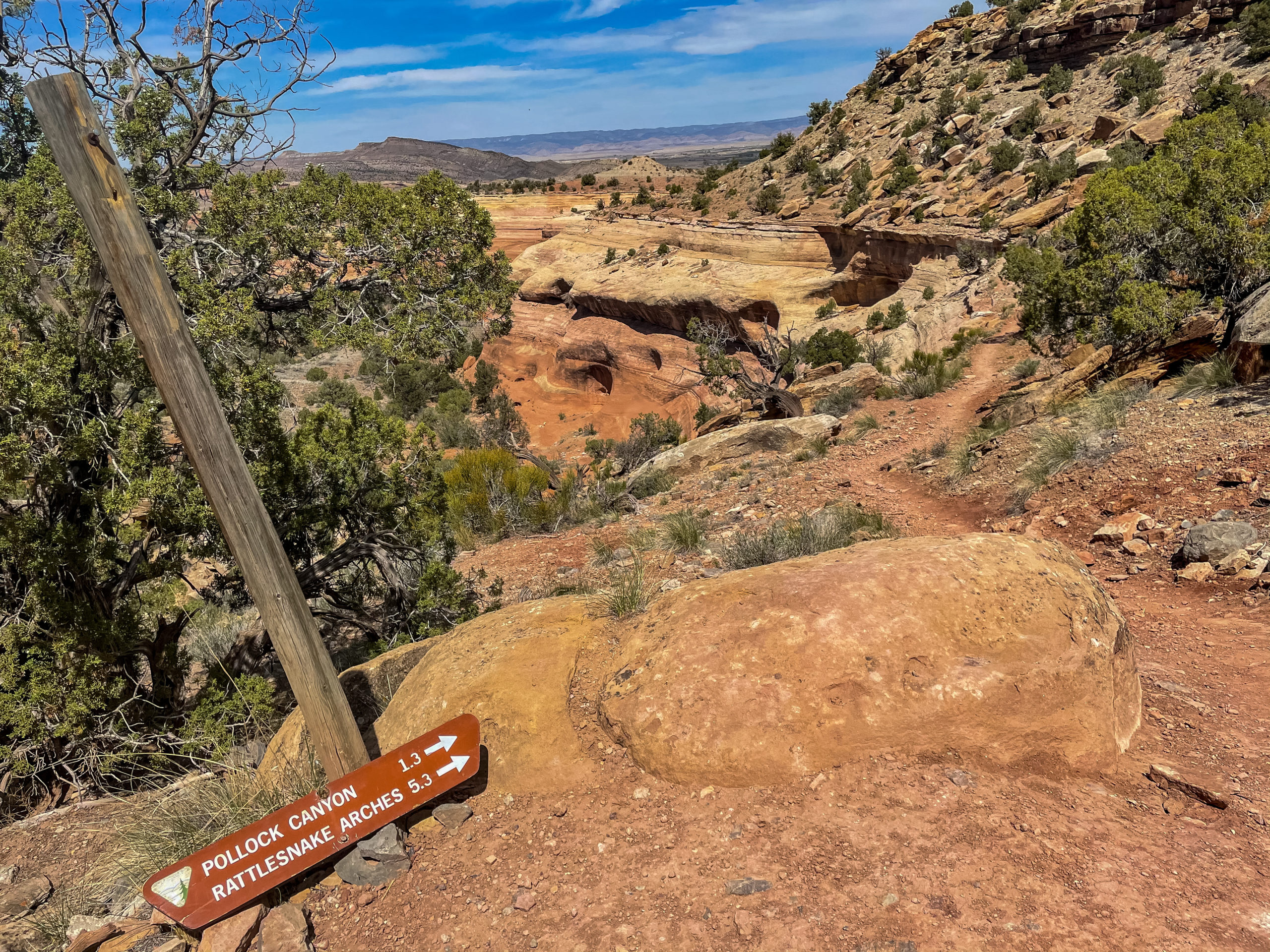
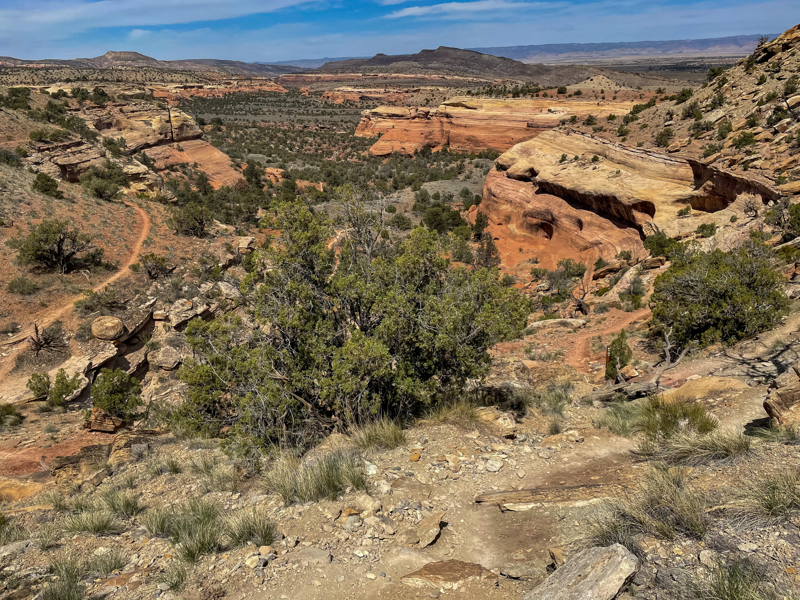
This trailhead is easily accessible from the mild dirt road running along the Colorado River. This hike is strenuous, at over 14 miles round-trip in exposed desert. It threads up rock-walled canyons and involves traipsing up and down narrow ledges and gullies, scrambling over sand covered slabs, eroded hoodoos and spires, and eventually, brings you up to jaw-dropping scenery of the arches where it connects with the other trail.
Within a few minutes of leaving the parking lot, you will have sweeping views over a vast canyon before turning right onto an old dirt road and down into your first canyon.
After five miles, the trail reaches the Rattlesnake Canyon Arches Trail. Make a four-mile, out-and-back hike to the Arches before retracing your steps down to the trailhead. Plan on a full-day adventure and carry plenty of water—at least two liters per hiker.
Even though this hike is exceedingly beautiful, it’s not a dog-friendly trail, especially in the summer. There is almost no shade and steep ledges and rocks can burn the pads of their feet, so it’s best to leave furry friends behind.
Exploring the Rattlesnake Arches
The Rattlesnake Canyon Arches Trail is a 2.7-mile trail that circles along a wooded area (known in geological terms as a bench) below eight of the area’s major arches. If you are coming from above, you can venture down a short 0.4-mile on the trail to an overlook above Cedar Tree Arch.
The total distance for the out-and-back hike is 6.2 miles, although it can be shortened to 3.6 miles if you carefully scramble up a steep slab behind Cedar Tree Arch. Many of the hikers I passed were doing just that! Have a buddy system and even a small rope for older people and children just in case.
About Rattlesnake Canyon Arches: Geology and Natural History
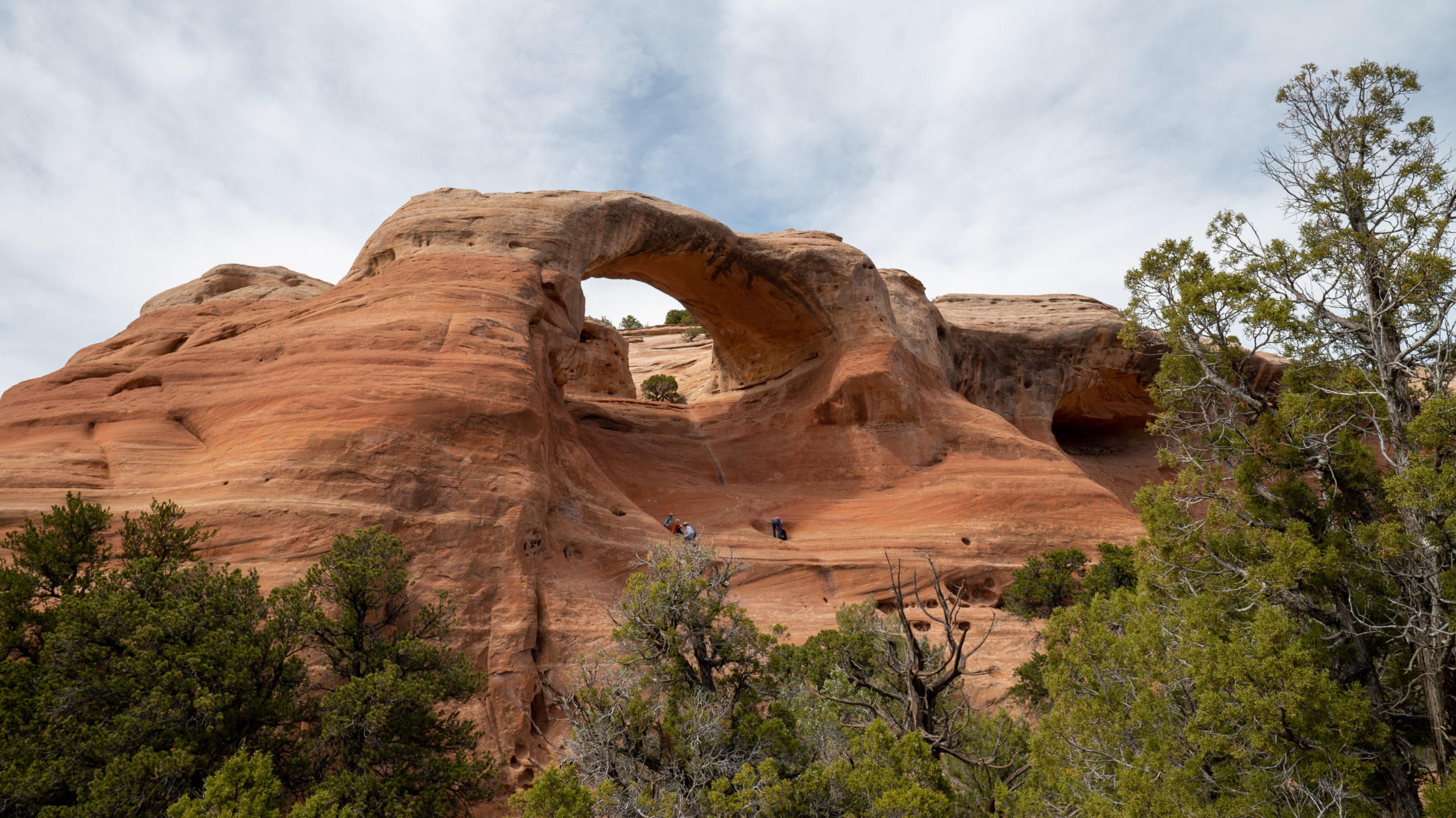
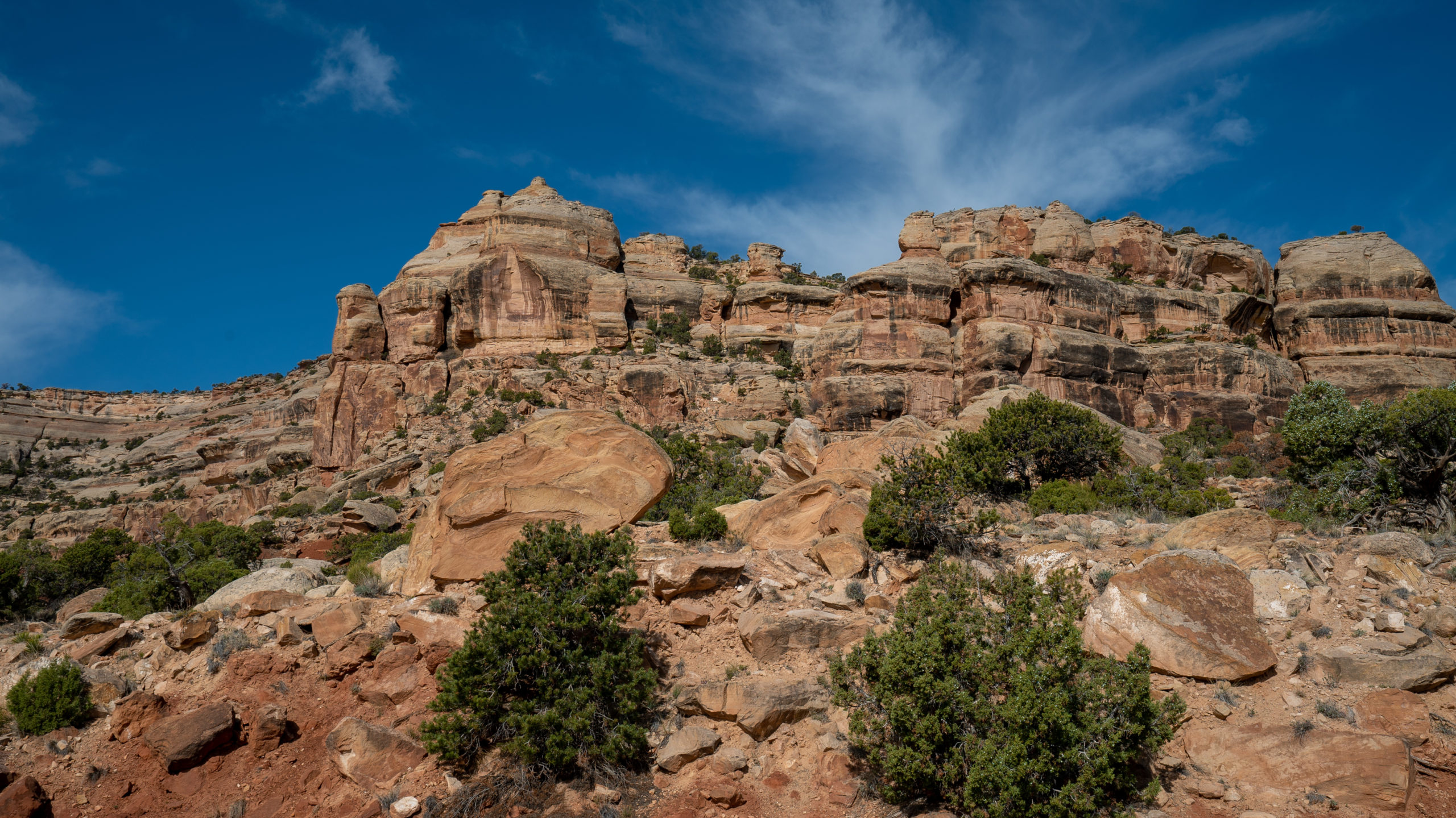
The Rattlesnake Canyon Arches are formed in 150-foot-high layers of Entrada sandstone, which is scattered along a mile of the canyon’s upper rim. The smooth, salmon-colored sandstone was deposited more than 175 million years ago in the form of sand dunes on an ancient coastline.
As the ancient inland sea disappeared, erosion started sculpting contoured alcoves in the cliff with wind-blown grit, frost wedging, and quick runoff. This is how, over millenia, the rock eroded to form holes, alcoves, and farther west hoodoos, spires, and deep canyons like you’ll find in Utah’s Mighty 5.
In addition to its unique geology, the Rattlesnake Canyon area also features a high-desert ecosystem with scattered piñon pines, junipers, sagebrush, cacti, and yuccas surviving on only 11 inches of annual rainfall. Amazing!
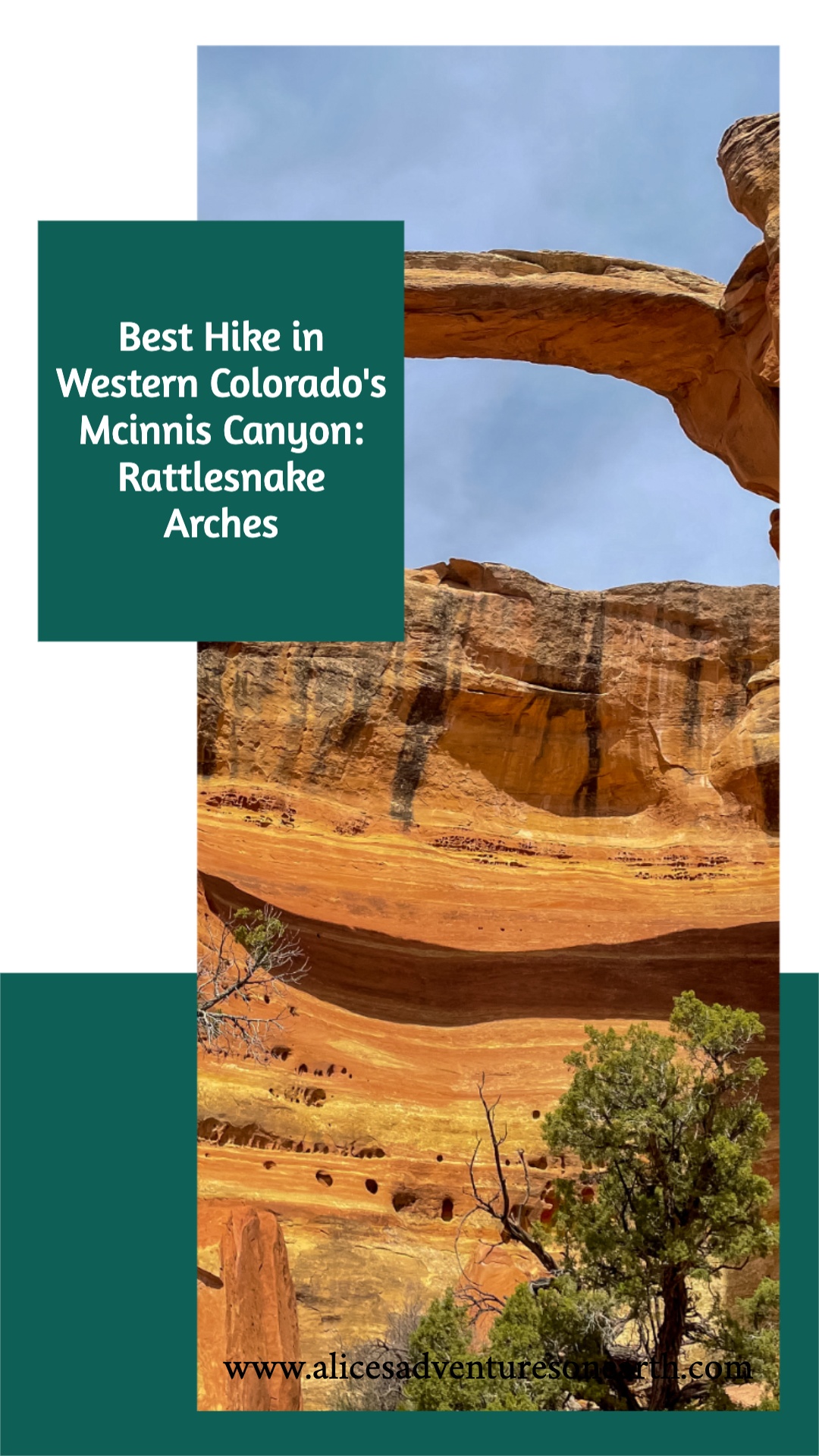
Today, several of the arches retain unofficial designations. Even with their official titles, many locals still refer to them by their longstanding nicknames. Cedar Tree Arch, also called Rainbow Arch, is the longest arch in the group, with a span of 76 feet and a vertical opening of 43 feet. Centennial Arch, also dubbed East Rim Arch or Rattlesnake Arch, is the site’s most elegant archway with a thin 40-foot span above a 120-foot-high window. Many of the other arches are smaller windows stamped through roofed alcoves.
Wildlife
If you pay attention and start early, you may be lucky enough to spot some wildlife like big horn sheep, coyote, mule deer, foxes, and rabbits. You’ll certainly see lizards on the trail. Watch your step and where you sit for rattlesnakes in the spring, summer, and fall. I didn’t see any during my hike, but they certainly live in the area.
Don’t forget to look up for vultures, eagles and hawks. Keep your wits about you for seldom-seen mountain lions. I saw tracks, but no signs of them on the trail.
Rattlesnake Canyon Arches Hiking Safety Tips
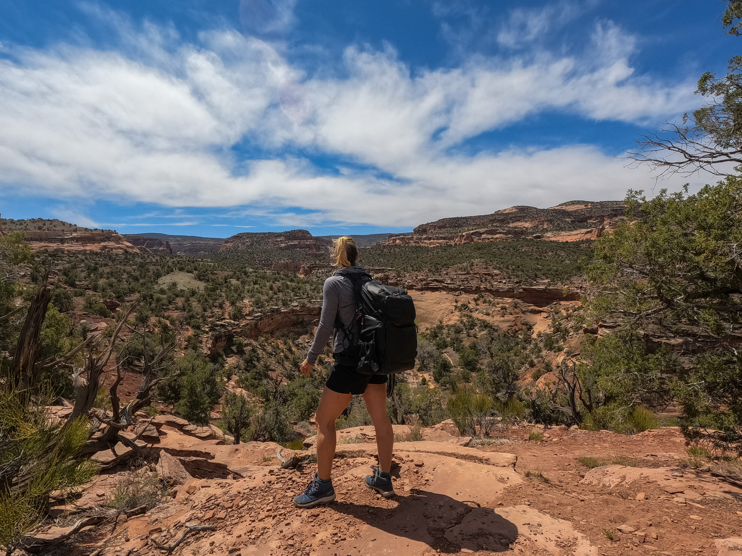
Despite being located just 20 miles from Grand Junction, the Rattlesnake Canyon Arches and the surrounding McInnis Canyons National Conservation Area are a forbidding land, dissected by deep canyons and towering cliffs and buttes. You will be on your own in this high desert, with no parking lots, visitor centers, rangers, or pavement.
I only saw a handful of people on my hike out to the Arches and not a soul on the 8-mile return hike.
- Expect a wild experience and be prepared to rough it.
- The trails are easy to follow and well-marked so while it’s hard to get lost, it never hurts to use an app like AllTrails or OnX Off Road.
- Make sure you pack the 10 essentials.
- Bring more than enough water as there is no water on the trail.
- Make sure to wear a hat, have ample sun protection like long sleeves and pants, as well as plenty of sunscreen and snacks.
The Best Hike in Western Colorado? I Think So!
Hiking to the Rattlesnake Arches is not just an epic hike. It’s seriously the best one I’ve found in scenic, but often-overlooked Western Colorado! I hope you’re able to take these tips and use them to create a memorable plan to get out and enjoy the desert arches and otherwordly beauty in McInnis Canyon. Let me know what your favorite place to hike in Colorado is in the comments below!
If you found this article helpful please save it to Pinterest or share it with a friend.




Wow, this place is huge!!! I’d definitely opt for the 4WD then hike option. I’d be worried that I couldn’t carry enough water for the full trek. The arches are just gorgeous though and well worth the adventure. Having a buddy or crew for this type of hike is definitely a good idea.
having a buddy is a great idea and I have no doubt that you would have a ton of fun on the four-wheel-drive road and hike down to the Arches.
We loved all the canyons and national and state parks we visited during our road trip through California, Utah and Nevada back in 2013! Back then we didn’t have time to go to Colorado though, but it’s on our bucket list! Hopefully we’ll get to travel to the USA again next year, so that we can hike in Colorado’s canyons and see the Rattlesnake Arches! Your post is really giving us wanderlust! 🙂
You can never go wrong with a road trip on the western side of the US. I hope you make it out to Colorado it is a wonderful state..
I did not know that McInnis Canyon has more arches than Arches National Park. Definitely a reason to visit McInnis Canyon and hike to Rattlesnake Canyon when we finally get to Colorado. It looks like it would require some planning though to get there. And only in good weather. But good to read that the trail is well marked.
This is a beautiful hike but looks like quite a difficult one. I love that it is not what I expect from Colorado- and I lived there for a year!
I have been visiting Colorado often but never been out to the National Monument. Your description and photos make it a can’t miss destination. The natural beauty is different than other parts of Colorado but just as scenic. Thanks for the report on this wonderful area!😄
All my times to Colorado and I’ve never even heard of Mcinnis Arches!! Which is a good sign – means it must really be off the beaten path and not at all crowded! It really does look so much more like Utah than it does Colorado. I definitely want to hike here some day.
I’m so glad you’ve never heard of it, and hope that you get to go explore at now on your next Time to the western side of the state.
Good eye for creating engaging video, so far I find the content and the production a step above other hiking/national park travel sites.
Thank you so much. I really appreciate that.